We went west!
Itinerary
Kicking off the trip on Canada Day weekend, The Guys (members of the trip, herein described as “The Guys”) set out to see 140km of the icy blue Kootenay River over 7 days.
- Calgary to McLeod Meadows (30th)
- McLeod Meadows and Back Again (1st, 38km)
- McLeod Meadows to Horseshoe Rapids (2nd, 24km)
- Horshoe Rapids to shy of Pallister River Confluence (3rd)
- Shy of Pallister to White River Confluence (4th)
- White River Confluence to The Last Set
- The Last Set to Canal Flats (6th, 30km)
Upon our return, Calgary was on the eve of Stampede. We had fun there as well.
The River
For our last trip, The Guys knew it well. This time, less so. Most of us had never been to the BC interior outside gnar season. We had to research.
-
A Paddler’s Guide to the Vermilion-Kootenay River is an undated publication from Parks Canada and British Columbia Ministry of Forests. This gem details every bend, every set, and all the sights to see along the way. This was our holy bible, and this write-up is mostly plagarism from this resource.
-
PaddlingMaps: McLeod Meadows to Canal Flats is a great assist for suggesting campsites, noting features, and generally helped plan how we broke this trip into chunks.
Gearing Up
To stay afloat, Rocky Mountain Paddling Centre in Calgary’s west end was our saviour. We rented 5 boats and a trailer, including other gear essentails: paddles, PFD’s, throwbags, bailers, and whistles. Selecting mostly 17’ Nova Craft Prospectors, these bad boys were fully loaded with airbags to keep us afloat on rogue ducky style sets.
For remaining gear we rented from UofC’s Outdoor Centre: barrels, packs, tarps, tents, and whatever campsite needs The Guys did’t bring on the flight.
The Trip
General Notes
- The river moves quick. I’d estimate it at 5-6 km/hour current. Hardly paddling will get you a long way.
- The river is cold, even in July. It’s entirely fed by glacial runoff from the mountains. Our swims were more for business than pleasure.
- We had zero (yes, zero) portages this trip. We shot everything. That’s vacation!
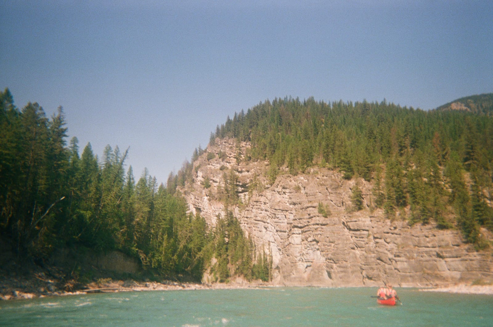
- Generally, all sets were choose-your-own-adventure style. Whitewater sets were mostly on bends - the closer to the outside of the bend, the more intense the rapid. Hugging the inside usually meant a smooth ride.
1. Calgary to McLeod Meadows
By end of day on July 30th, all The Guys and their stuff assembled in Calgary. After work, we drove to a campsite booked at McLeod Meadows in Kootenay National Park.
Had something gone wrong with gathering gear, we also could’ve left the following morning. It was flexible.
2. McLeod Meadows and Back Again (40km)
This morning, we faced the classic canoe trip logistical challenge - where to we park the cars? To truly start the trip, the team at Far Out Gear Rentals in Radium Hot Sprints were invaluable. This morning we left our campsite intact at McLeod Meadows and drove down to Far Out in Radium Hot Springs. We parked the cars, transferred our canoes to their trailer, and they shuttled us up to the drop at Vermilion Crossing. Luckily this operation didn’t take much time.
Vermillion Crossing itself is a bridge over the Kootenay on Highway 93. The west side of the highway is a day-use area in Kootenay National Park. On the east side is Kootenay Park Lodge, which we also entertained as a place to park for the week (they didn’t pick up the phone).
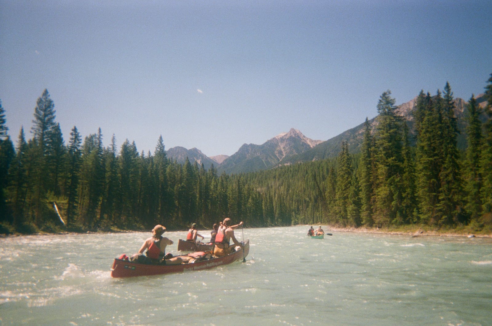
From here, the trip began! Day one was 40km of moving water, mountain goats, gorges, and one big set. Light work.
This first day on the river ended back at… McLeod Meadows. There’s no primitive camping allowed along the river while in Kootenay Park, so we had to stop where we started the day. Bonus was, our campsite was already set up! Easy going.
3. McLeod Meadows to Horseshoe Rapids (34km)
On this day, we got out of the park. Once beyond the borders of Kootenay National Park, we were free to camp wherever we’d like. We encountered Had some great sets, and finished at Horseshoe Rapids Recreation Site. There are campgrounds both “inside” the horseshoe, as well as on the north shore.
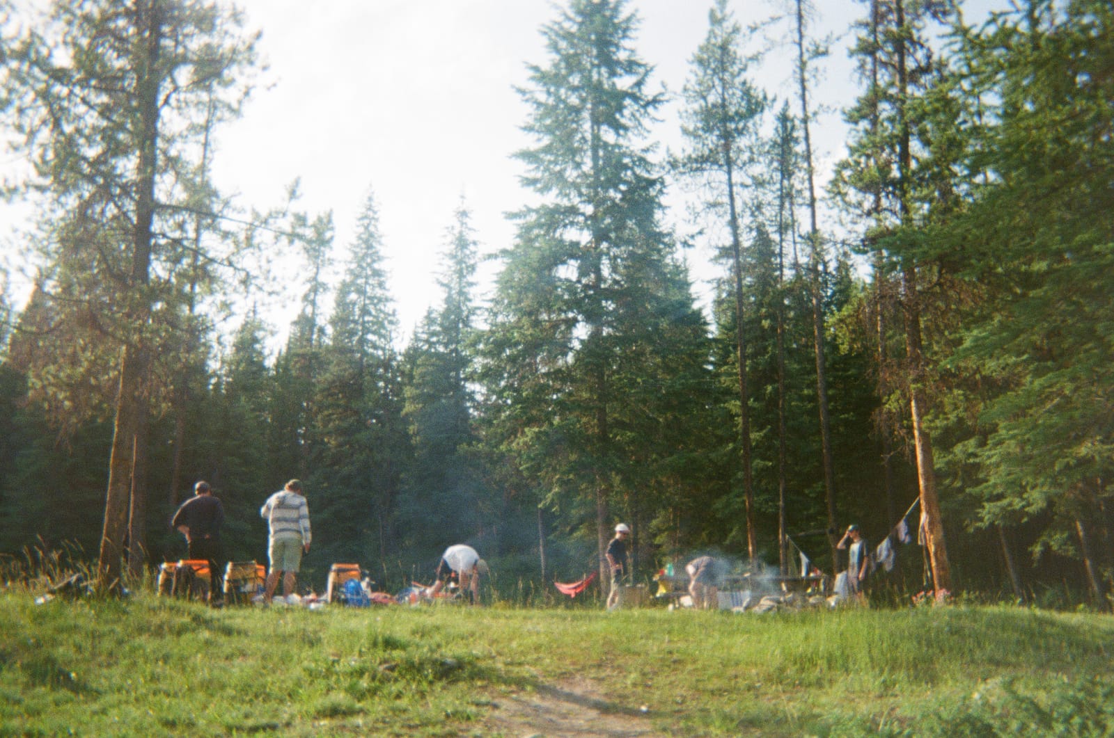
We camped on the north shore. It’s a nice open, grassy area. Picnic bench included.
4. Horseshoe Rapids to shy of Pallister River Confluence (16km)
From these days on, a bulk of the rapids named in the Parks Canada guide are behind us. The remaining days were paddled at a relaxing pace, and still arriving at a decent time.
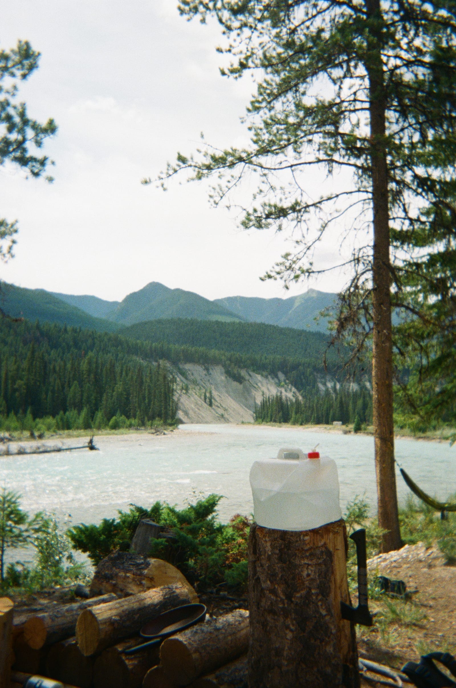
This day, we aimed to camp at the confluence with the Pallister River. However, about 3km upstream, we saw a clearing on the shore - hopping out to inspect, we deemed it worthy to end our day there.
Looking at it from above, it’s clear the site we found is part of a network of ATV trails.
It was a nice spot.
5. Before Pallister to to White River Confluence (20km)
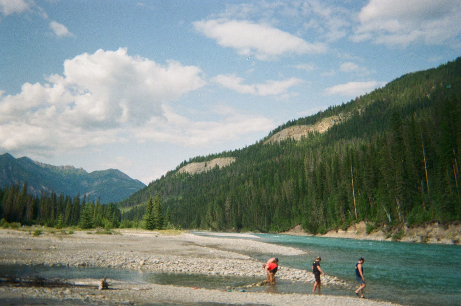
Another easy day. This time we ended at White River’s intersection with the Kootenay, which has some formal campgrounds. Picnic tables strike again.
On the gravel flat near the confluence, we had ourselves a perfect bonfire.
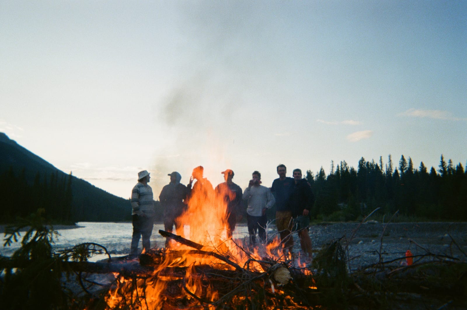
(To our surprise, there was no fire ban during our trip. Lucky again.)
6. White River to The Last Set (12km)
A super easy day, with only one or two proper sets. On the way, you pass what’s known as Gibraltar Rock. There’s apparently a hike up the backside, but we didn’t attempt it.
We found a campsite after the last marked set in the guide, on river right.
The afternoon consisted of sunbathing and dam engineering.
7. The Last Set to Canal Flats Bridge (19km)
The last morning. Despite there being no marked sets, the river still moved very quickly here. The time from campsite to bridge was probably 2-3 hours or so.
We pre-booked a shuttle with our favourites at Far Out Gear Rentals to pick us up and take us back to our cars at Vermilion Crossing. Gave them a call once we were back in service, and they arrived. It took an hour and a half.
Fin
From there we hopped in our cars and spent another two hours driving back to Cowtown. Happy to have cold beer once again, The Guys stampeded their way into beer tents and sung of our glorious adventure to all our friends.
Till next time.